Lake Tahoe

26 April, 2019 ~ Start of a weekend at Lake Tahoe


Still snow at some elevations.


It was before Memorial Day and many restaurants
were not open yet, but we still could enjoy the view.

We rented a Ford Fusion, which I liked, all except
for the lack of lever for the shift mechanism.

Who'da thunk we'd have run into
old Sam Clemens in Tahoe?


There were still some active ski trails
around South Lake Tahoe, California

At the South end of the Lake the former
logging camp, Camp Richardson

Near the South end of the Lake,
in the State of California


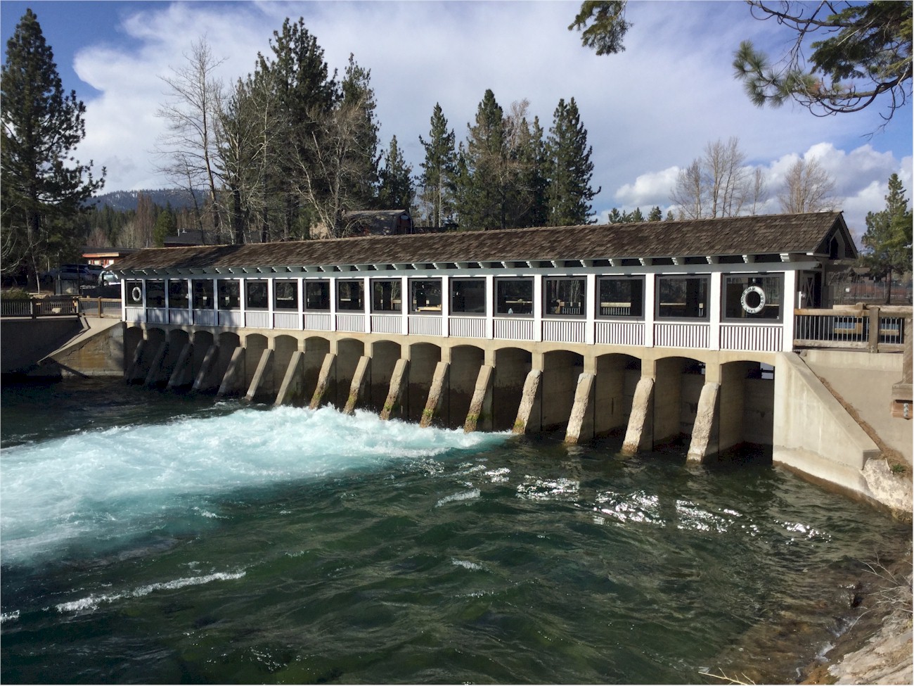
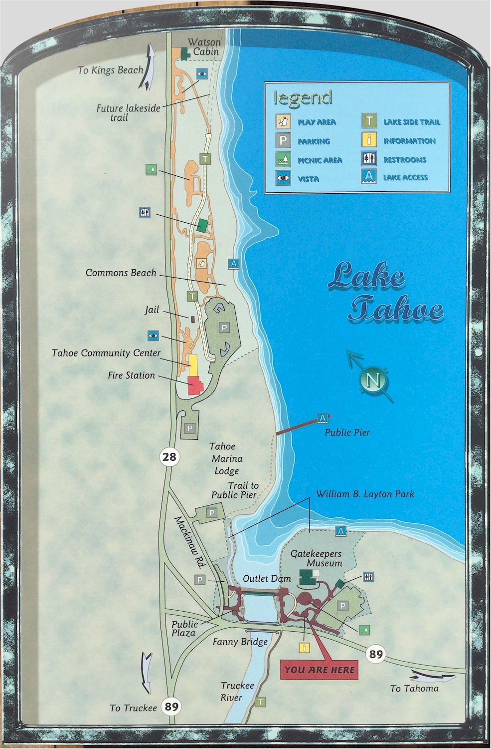
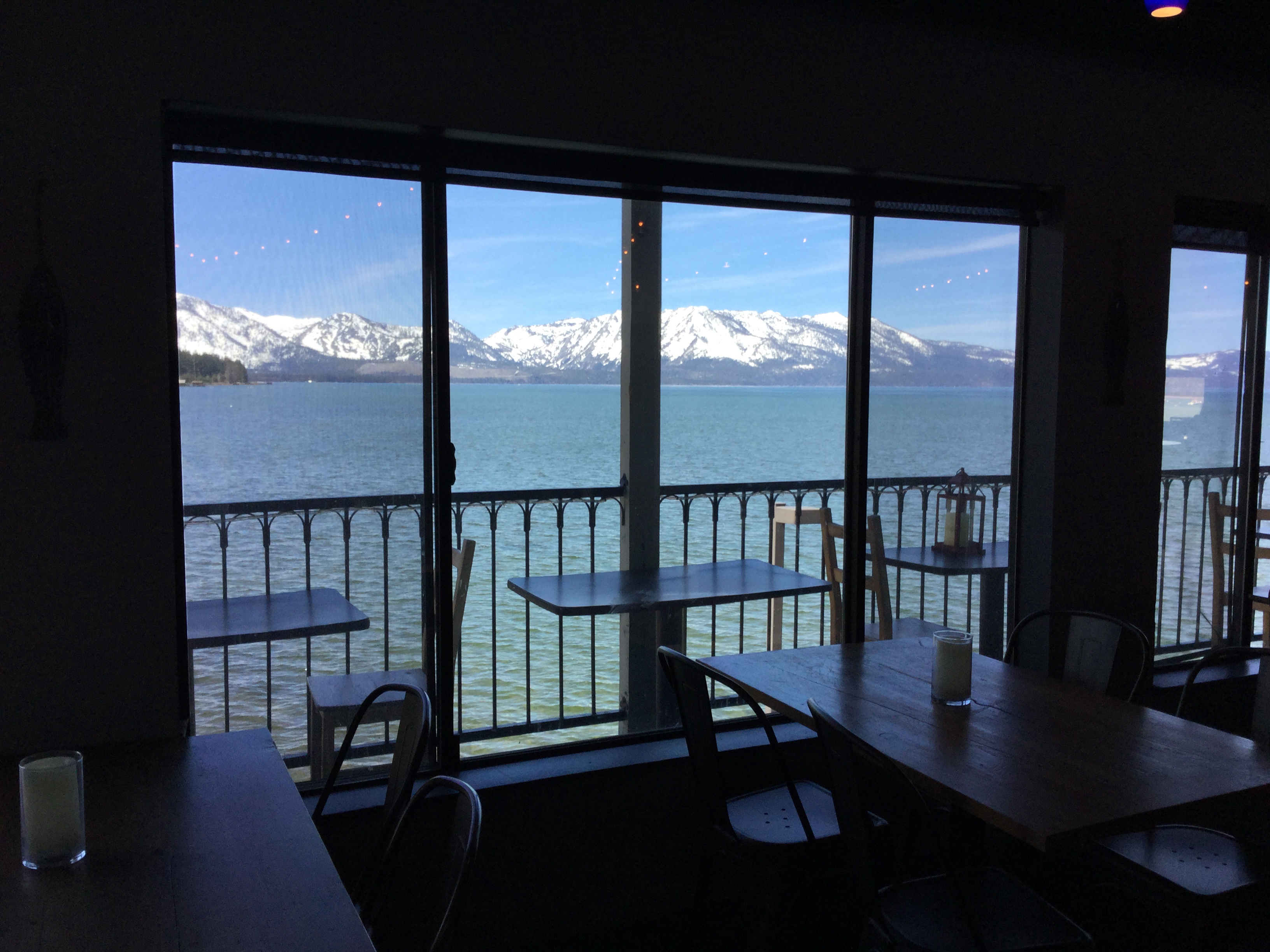
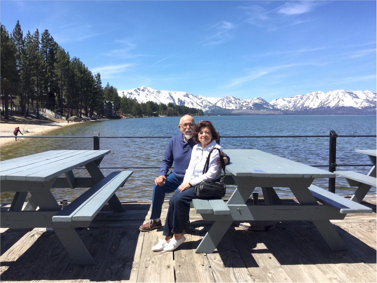
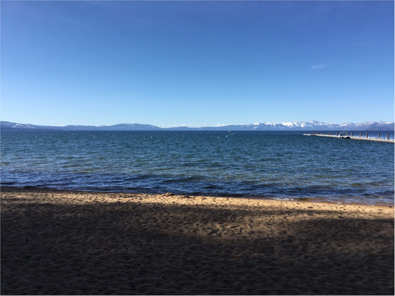
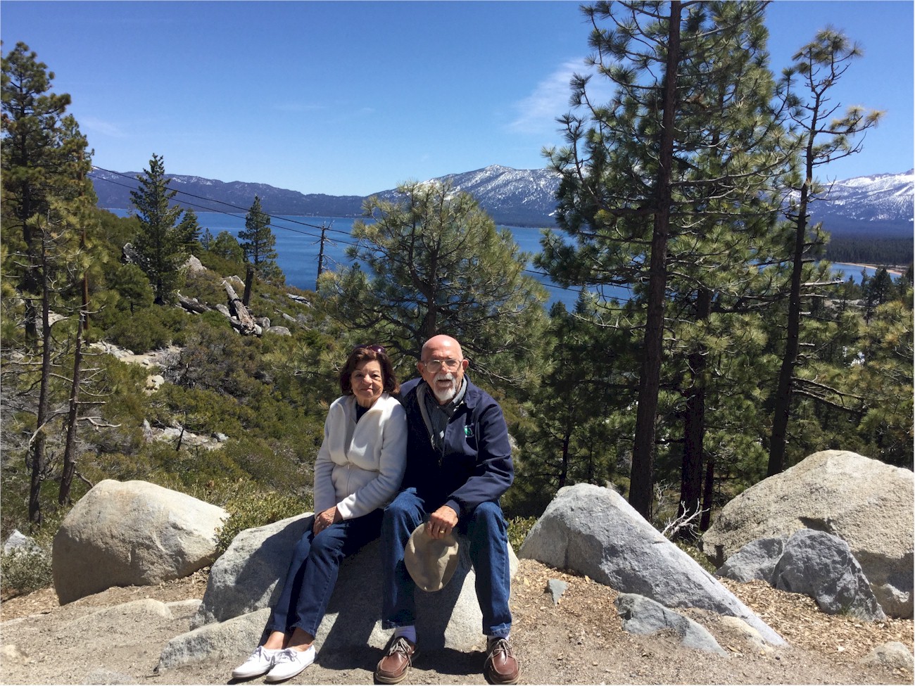
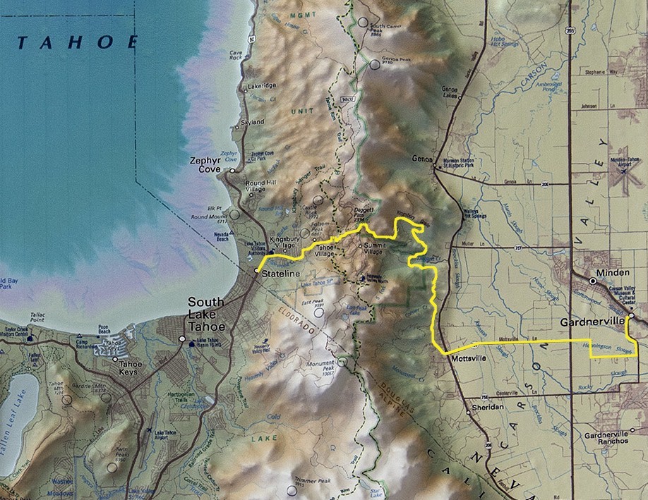
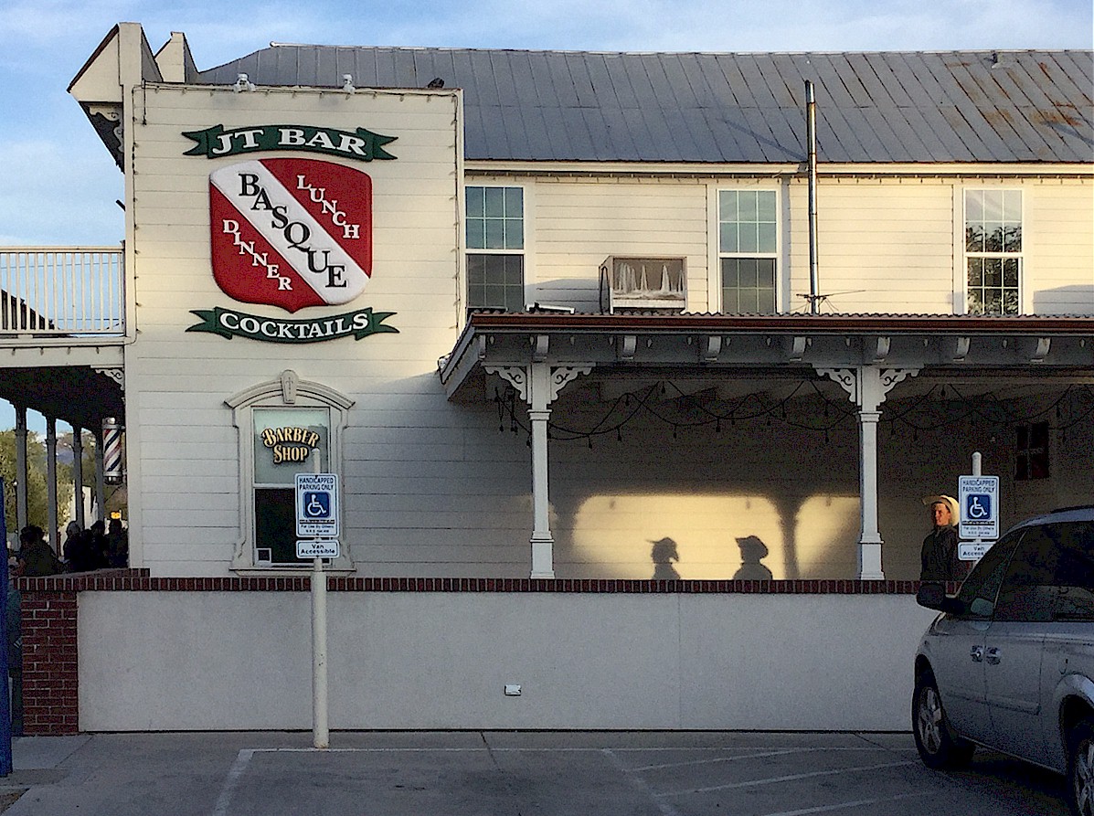
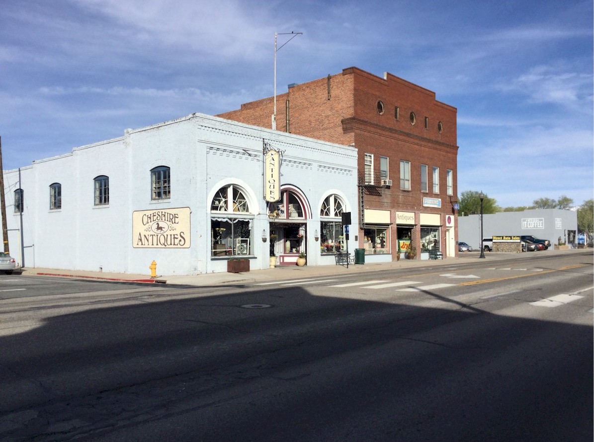
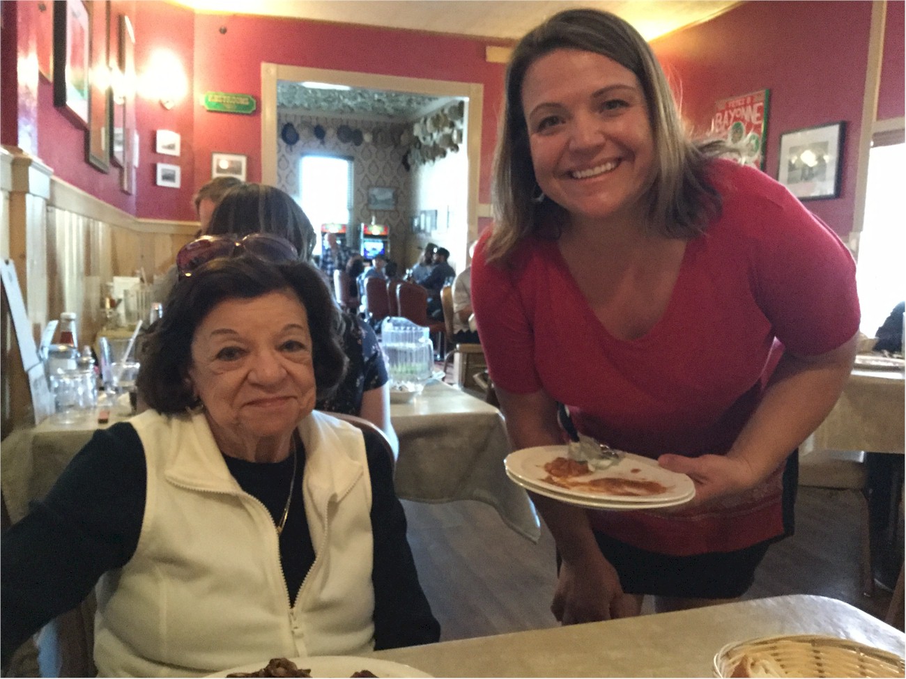
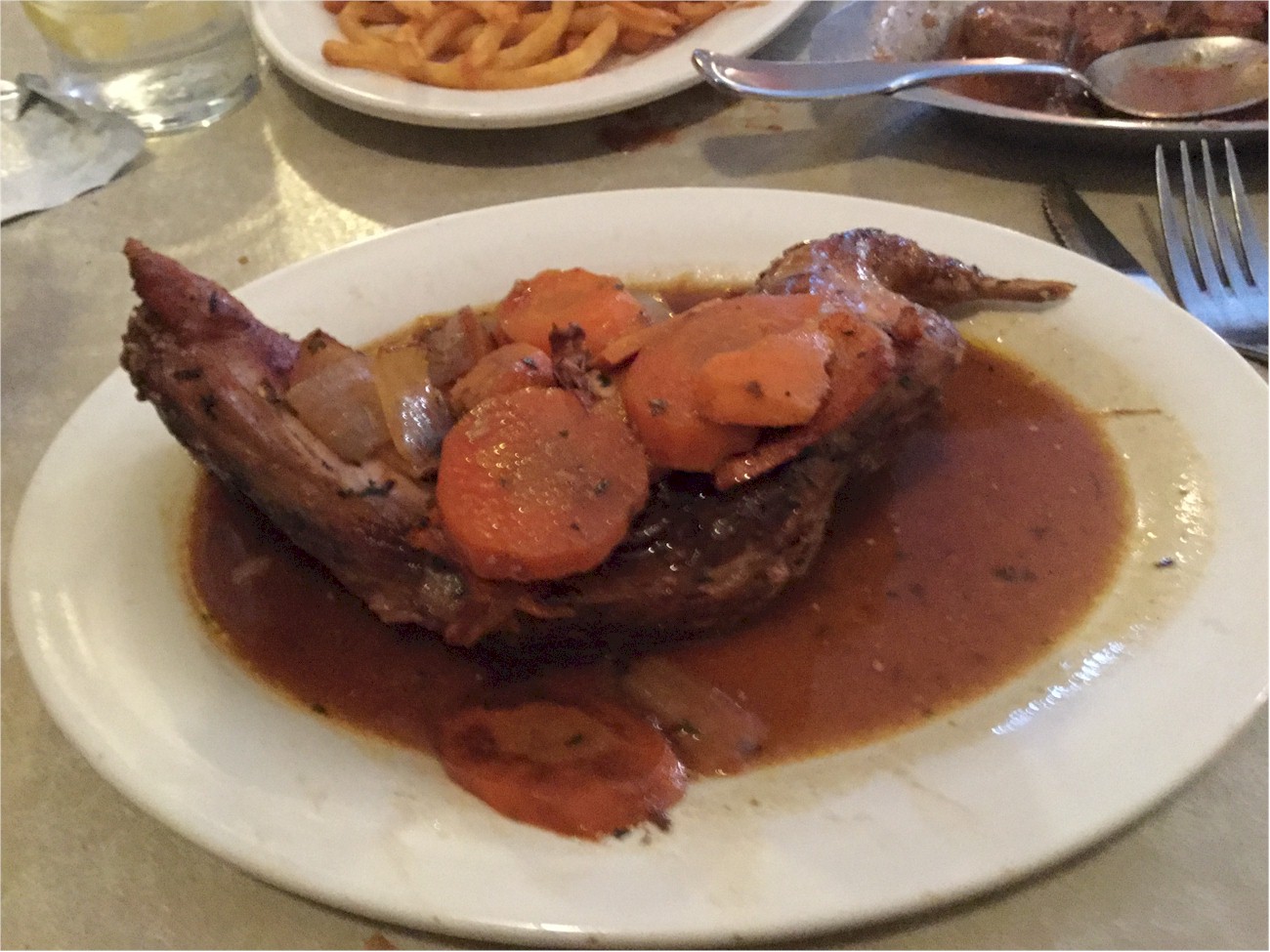
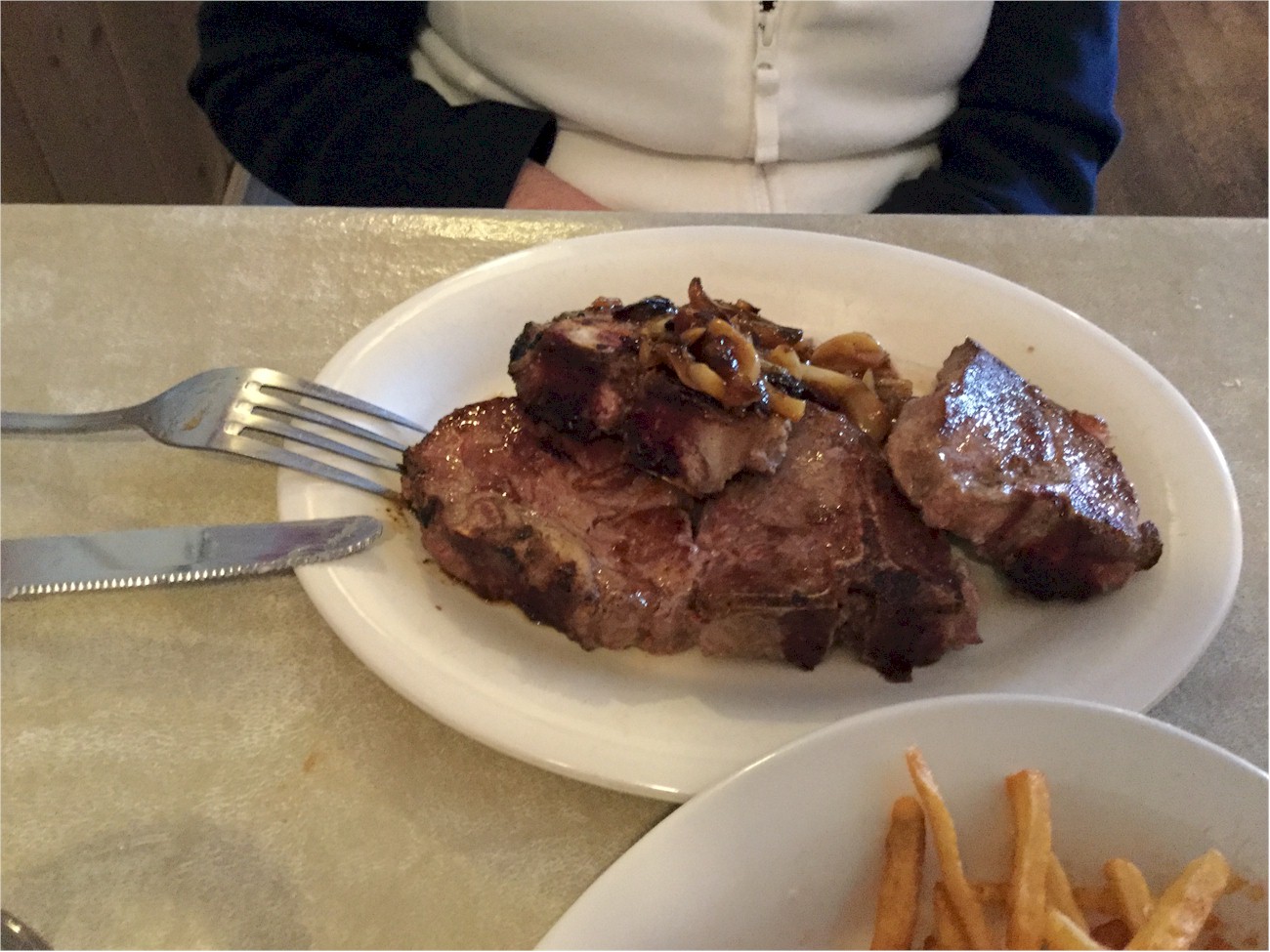
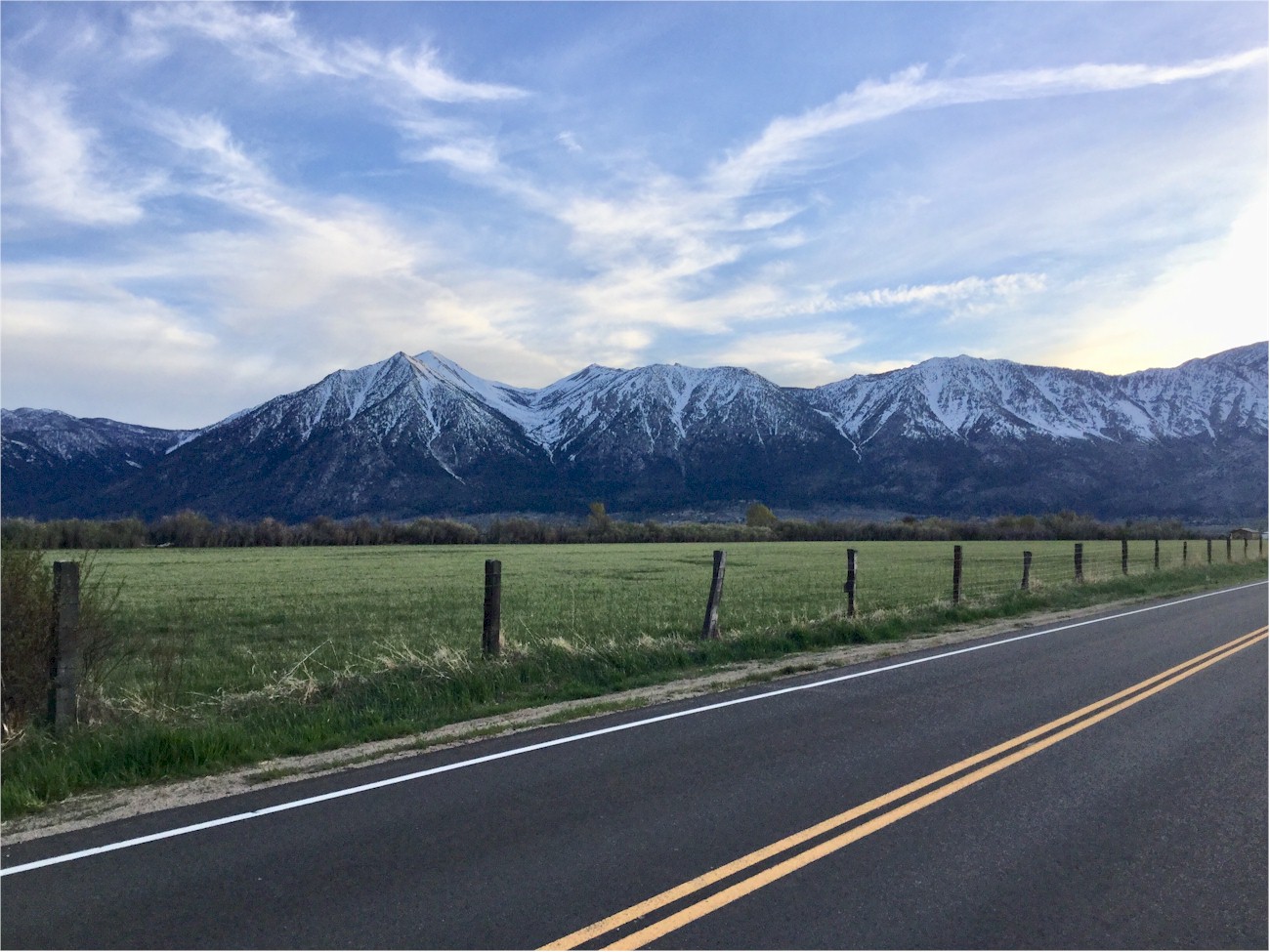
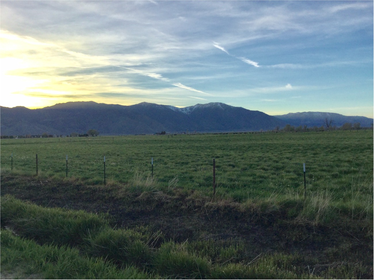
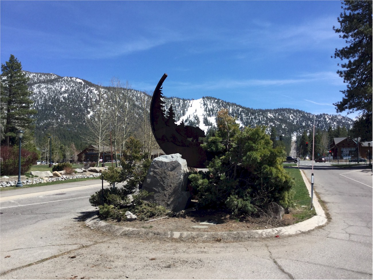
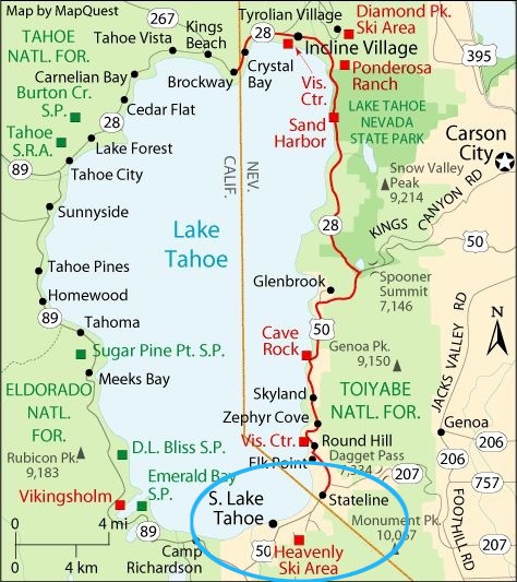
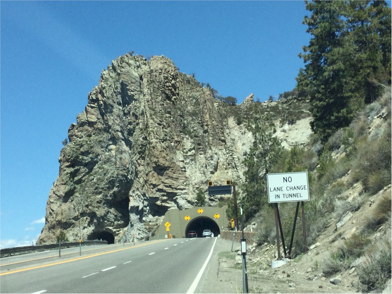
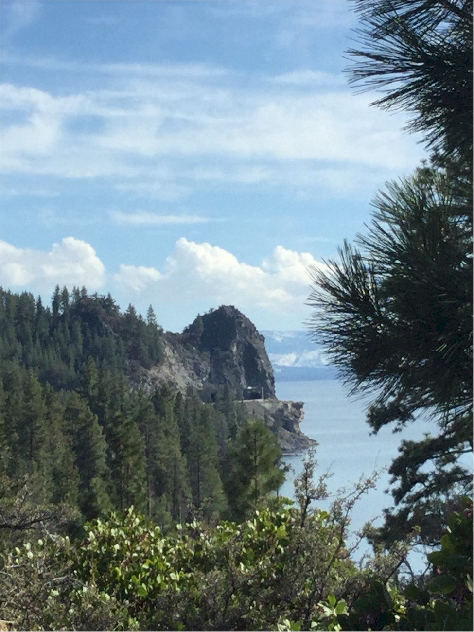
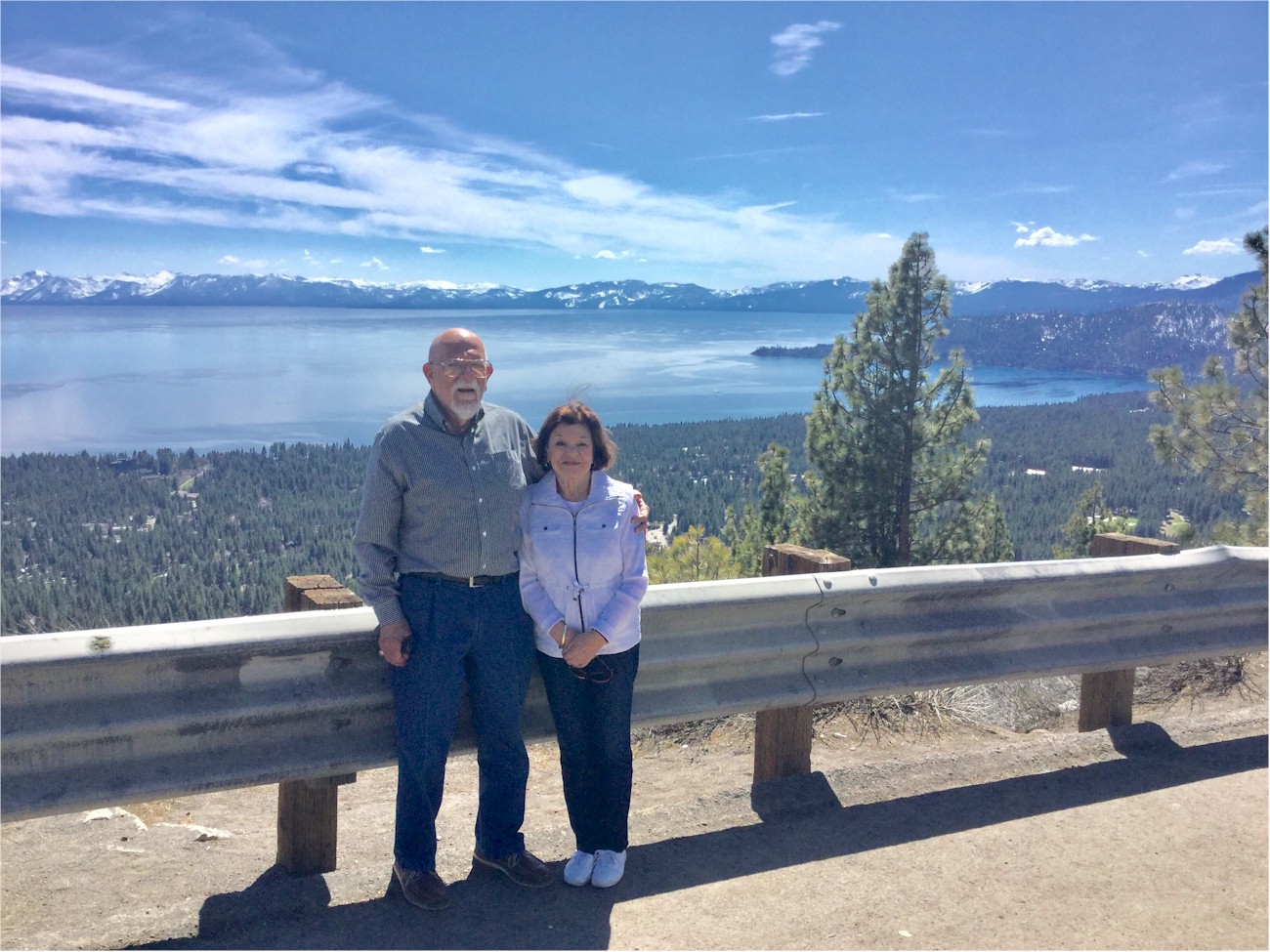
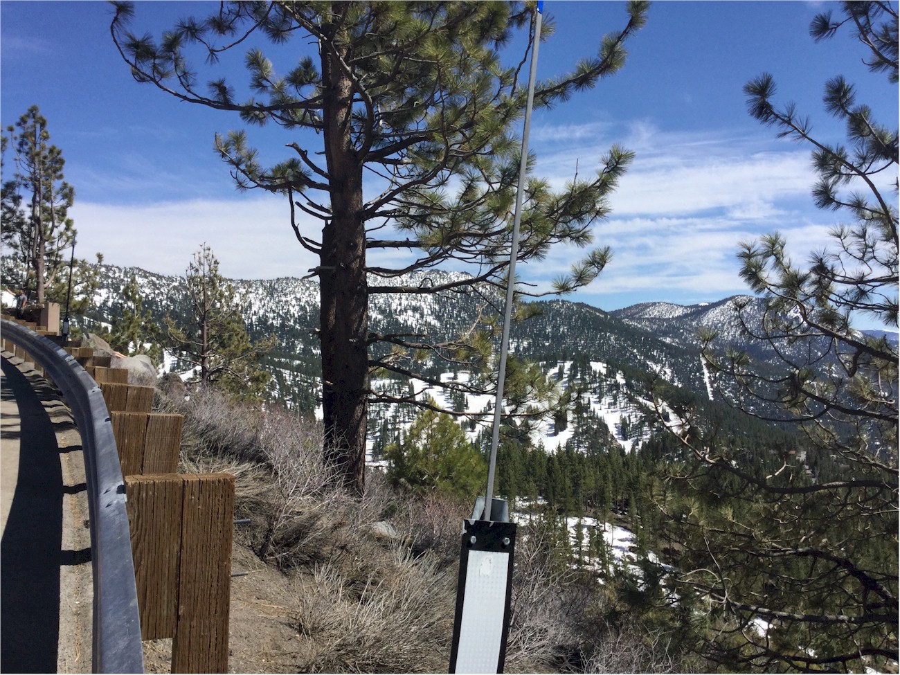
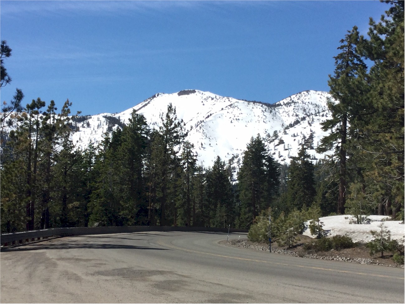
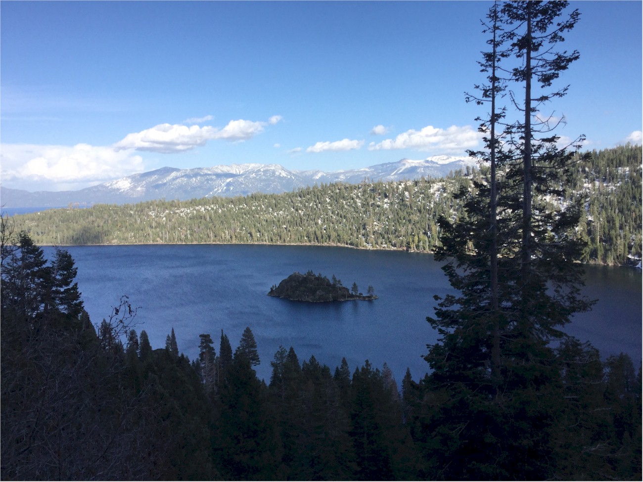
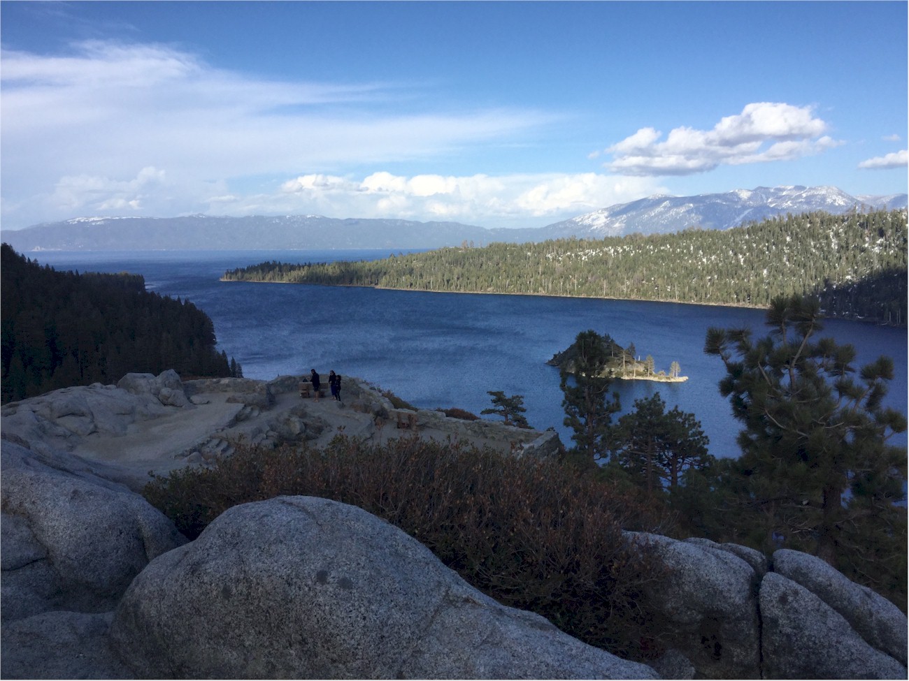
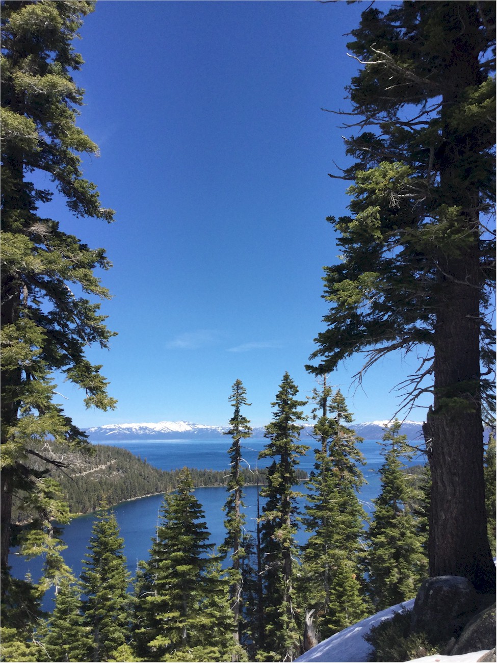
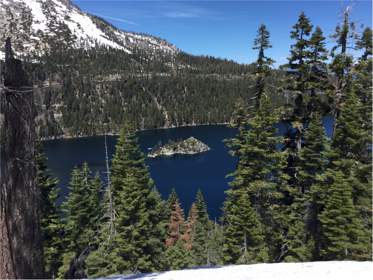
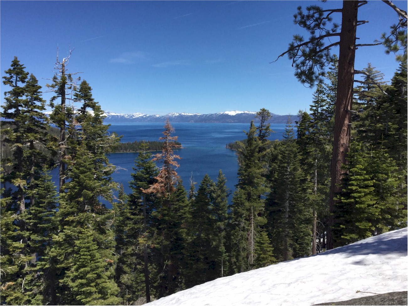
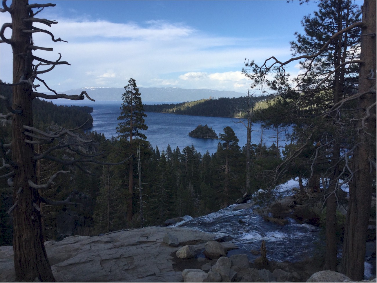
       We like Basque food, and the nearest place for it was in Gardnerville, Nevada. To get there we had to do what the locals call 'going over the mountain', through the Sierra Nevada's Daggett Pass at 7,334 feet.  We'd never try this in winter, but for our whole stay, the weather was clear, the roads were dry, and the traffic was minimal.


Saturday evening in the 'sleepy Western town'
of Gardnerville, in the Carson River Valley.

It was the location of the 1957 film 'Wild is the Wind'.

But the place to be in Gardnerville
on a Saturday night is JT Basque.


Angie had lamb chops.

Our waitress was JoDell.  Wine, spicy vegetable soup and green salad were served family style, and we ordered individual entrees.

I had cunigliu arrustatu.


Then it was back 'over the mountain' to Tahoe.


      Over the weekend we made several trips to various points along the lake shore.  On the last day, our return flight was cancelled, so we took a drive all the way around the lake.  These photos aren't in chronological sequence, but they combine various trips showing what we saw travelling around the lake counterclockwise from the area of South Lake Tahoe, California and State Line, Nevada.


      The indigenous peoples of the Tahoe region, the Washoe, believe that Cave Rock is the center of the universe and it is a sacred place to them.  The Nevada Highway Commission thought it was a good place for a tunnel!


      Driving North along the East shore.


      Incline Village on the North shore, and views from what is considered the best scenic overlook of the lake, on Mount Rose Highway.  The top of the stake is the depth that snow reaches in winter months.

To see a video from this spot,
CLICK HERE


      In Carnelian Bay, we had a beer-battered fishfry - with red snapper!


      The long axis of Lake Tahoe is North and South, like New York State's Finger Lakes.  But unlike them, its outlet is on the West side of the lake, at Tahoe City.  The lake collects water from the surrounding mountains and flows out through the Truckee River, which winds for a hundred and twenty one miles and eventually empties into Nevada's Pyramid Lake, which has no outlet, and is a salt lake.  The level of the Lake Tahoe is controlled by a dam at Tahoe City.

To see a video from this spot,
CLICK HERE


         We continued south along the Western shore, towards Emerald Bay, the beautiful spot shown in many iconic images of Tahoe.  Full disclosure: the photo below,  looking out to the lake from the bay, is from the internet site http://chronophonix.blogspot.com/


To see a video from this spot,
CLICK HERE


It's impossible to show all the wonders of Tahoe on one page, but the view from Eagle Falls is among the most beautiful.
Click on the image to enlarge it


Hit Counter